 Catalogue PIGMA
MSFD
Type of resources
Available actions
Topics
Keywords
Contact for the resource
Provided by
Years
Formats
Representation types
Update frequencies
status
Scale
-

Good Environmental Status assessment (GES) for descriptor 8 (contaminants, D8) of the Marine Strategy Framework Directive (MSFD) is reached when concentrations of contaminants are at levels not giving rise to pollution effects. It is described by 4 criteria among which the first one focus on the concentration of the contaminants in the environment (criteria 1 of the D8, D8C1). The environmental status for D8 in France includes assessment of contaminant concentrations in sediment, bivalves, fish, birds, mammals to cover the French marine area the continental shelf from the coast line). The 8 tables below present the assessment of the chemical contamination in sediment and bivalves on the coastal area of the 4 French marine subregions for D8 as part of the 2024 GES assessment. These tables report the status and temporal trends of each station x matrice x substance triplet in each of the 4 French marine subregions. Explanation on how to read the cells is given in the “read file”. The environmental assessment for D8 in France can be found in Mauffret al., 2023 (DOI:10.13155/97214). It includes 17 national indicator assessments, 4 OSPAR indicators and integrated assessment in selected assessment units at the level of the criteria 1 and 2.
-
-
The dataset includes age- and length-based catch per unit effort data for commercial fish species collected by the French trawl survey EVHOE.
-
The product contains a description of submarine cables and pipelines brought to the attention of Shom on French areas of responsibility. These are 2D linear objects of the seabed that divide into two categories: • The submarine cables: these are cables placed on the seabed where electricity or information (telecommunication) flows. They represent the vast majority of objects (more than 90%); • Emissaries and submarine pipes: these are pipes that allow the discharge, sampling or circulation of fluids.
-

Impulsive or transient sounds of short duration and of high intensity constitute one of the criteria for defining good ecological status for descriptor 11 relating to the pressure of noise generated by human activities within the framework of the MSFD (D11C1). Good ecological status for sound energy is achieved when the risks of acoustic disturbance, excess mortality from sound exposure and reduction in communication distances of mysticetes are cumulatively low or moderate. For this, the spatial distribution, the temporal extent and the acoustic levels of the sources of anthropogenic impulsive sound must not exceed the levels harmful to the populations of marine animals. These criteria are evaluated at the scale of the marine sub-region for the “English Channel and North Sea”, “Celtic Seas” and “Western Mediterranean” regions; and at the scale of the "North" and "South" subdivisions in the "Bay of Biscay" sub-region. One of the indicators selected for the evaluation of criterion D11C1 is the spatial distribution of impulse emissions (D11C1.2). The pressures considered for the evaluation of the criterion are: acoustic emissions from air guns; acoustic emissions from impulsive sources other than air guns; emissions from non-impulsive (transient) sources; underwater explosions; emissions due to pile driving. The data used for the calculation of this indicator are declarative emissions data traced by the operators of the activities generating impulsive noise.
-
The land-sea limit corresponds to the Highest Astronomical Tide (HAT) in the case of a tide of coefficient 120 and under normal meteorological conditions (no offshore wind and mean atmospheric pressure of 1013 hPa). This geometric line is naturally defined as the intersection of a HAT model (extended to the coast and the top end of the upper estuary) based on the available Bathyelli surfaces, and a high-resolution digital terrain model of the coastal area. It corresponds to the highest limit of the intertidal area and takes into account, when they exist, the 3 administrative maritime limits which are: the transversal limit of the sea (LTM), the salt water limit (LSE) and the limit of maritime jurisdiction (LAM). This limit is measured (quoted) in relation to the local hydrographic chart datum and to the levels of reference for France (IGN69 and IGN78 for Corsica). Relations to other levels of reference (mean sea level and ellipsoid) are known. The land-sea limit product, mainly results from the exploitation of the two products Litto3D®/RGEALTI® and Bathyelli, and represents, with a metric resolution (1 to 5 metres), this theoretical entity by a set of 2D polylines describing the nature of the coast (artificial or natural, rocky or sandy, steep or flat, etc.). The method used for calculating the land-sea limit makes it possible to produce a continuous, homogeneous and spatially coherent limit on the entire French metropolitan coastal area.
-
Continuous sound is one of the criteria for defining good ecological status for descriptor 11 relating to the pressure of noise generated by human activities in the context of the MSFD (D11C2). Good ecological status for sound energy is achieved when the risks of acoustic disturbance, excess mortality from sound exposure and reduction in communication distances of mysticetes are cumulatively low or moderate. For this, the spatial distribution, the temporal extent and the acoustic levels of continuous anthropogenic sounds must not exceed levels harmful to populations of marine animals. These criteria are assessed at the scale of the marine sub-region for the "Channel and North Sea", "Celtic Seas" and "Western Mediterranean" regions; and at the scale of the "North" and "South" subdivisions in the "Bay of Biscay" sub-region. One of the indicators selected for the evaluation of criterion D11C2 is the spatial distribution of annual ambient noise for the one-third octave band centered on 125 Hz (D11C2.2). The pressure considered for the evaluation of the criterion is the noise generated by maritime traffic, mainly in its trade and transport component which is subject to regulatory oversight by automatic identification system (AIS). The data used for the calculation of this indicator are in situ noise data (MAMBO device) and maritime traffic data (Lloyd’s).
-

Impulsive or transient sounds of short duration and of high intensity constitute one of the criteria for defining good ecological status for descriptor 11 relating to the pressure of noise generated by human activities within the framework of the MSFD (D11C1). Good ecological status for sound energy is achieved when the risks of acoustic disturbance, excess mortality from sound exposure and reduction in communication distances of mysticetes are cumulatively low or moderate. For this, the spatial distribution, the temporal extent and the acoustic levels of the sources of anthropogenic impulsive sound must not exceed the levels harmful to the populations of marine animals. These criteria are evaluated at the scale of the marine sub-region for the “English Channel and North Sea”, “Celtic Seas” and “Western Mediterranean” regions; and at the scale of the "North" and "South" subdivisions in the "Bay of Biscay" sub-region. One of the indicators selected for the evaluation of criterion D11C1 is the distribution of the acoustic levels of impulsive emissions (D11C1.3). The pressures considered for the evaluation of the criterion are: acoustic emissions from air guns ; acoustic emissions from impulsive sources other than air guns ; emissions from non-impulsive (transient) sources ; underwater explosions ; emissions due to pile driving. The data used for the calculation of this indicator are declarative emissions data traced by the operators of the activities generating impulsive noise.
-

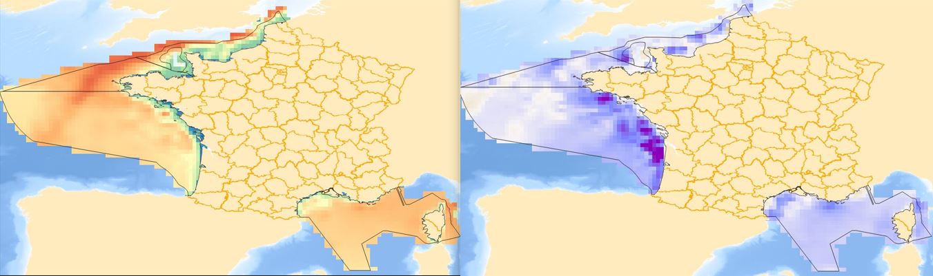
EMODnet (European Marine Observation and Data Network) is the long term marine data initiative supported by the European Commission since 2009 to ensure that European marine data will become easily accessible, interoperable, and free on restrictions on use. EMODnet Chemistry provides access to standardized, harmonized and validated chemical data collections for water quality evaluation at a regional scale, as defined by the Marine Strategy Framework Directive (MSFD). The data portal has adopted and adapted SeaDataNet standards and services, establishing interoperability between the data sets from the many different providers (more than 60 in EMODnet Chemistry network). Concentration maps of nutrients, chlorophyll-a and dissolved oxygen are computed on a standard grid, providing information at a regular time interval, per season and over several vertical layers, including the deepest one. Dedicated OGC standard services for browsing, viewing and downloading chemistry observation, data and data products for the European waters have been developed, and are actively maintained and monitored.