 Catalogue PIGMA
XYZ Ascii
Type of resources
Available actions
Topics
Keywords
Contact for the resource
Provided by
Years
Formats
Representation types
Scale
-
Pentadal time-series of the area in the North Atlantic (IHO, 1953) where ice occurred. On a 1 degree grid find all cells that experienced ice in at least 1 month of each 5 year period between 1915 and 2014, and then calculate the total area that these cells covered.
-
Pentadal time-series of the area in the North Atlantic (IHO, 1953) where ice occurred. On a 1 degree grid find all cells that experienced ice in at least 1 month of each 5 year period between 1915 and 2014, and then calculate the total area that these cells covered.
-
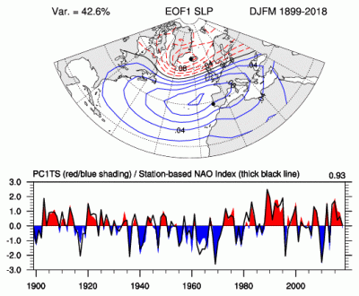
The principal component (PC)-based indices of the North Atlantic Oscillation (NAO) are the time series of the leading Empirical Orthogonal Function (EOF) of SLP anomalies over the Atlantic sector, 20°-80°N, 90°W-40°E. These indices are used to measure the NAO throughout the year, tracking the seasonal movements of the Icelandic low and Azores high. These movements are illustrated in the Figures on this page. Positive values of the NAO index are typically associated with stronger-than-average westerlies over the middle latitudes, more intense weather systems over the North Atlantic and wetter/milder weather over western Europe.
-
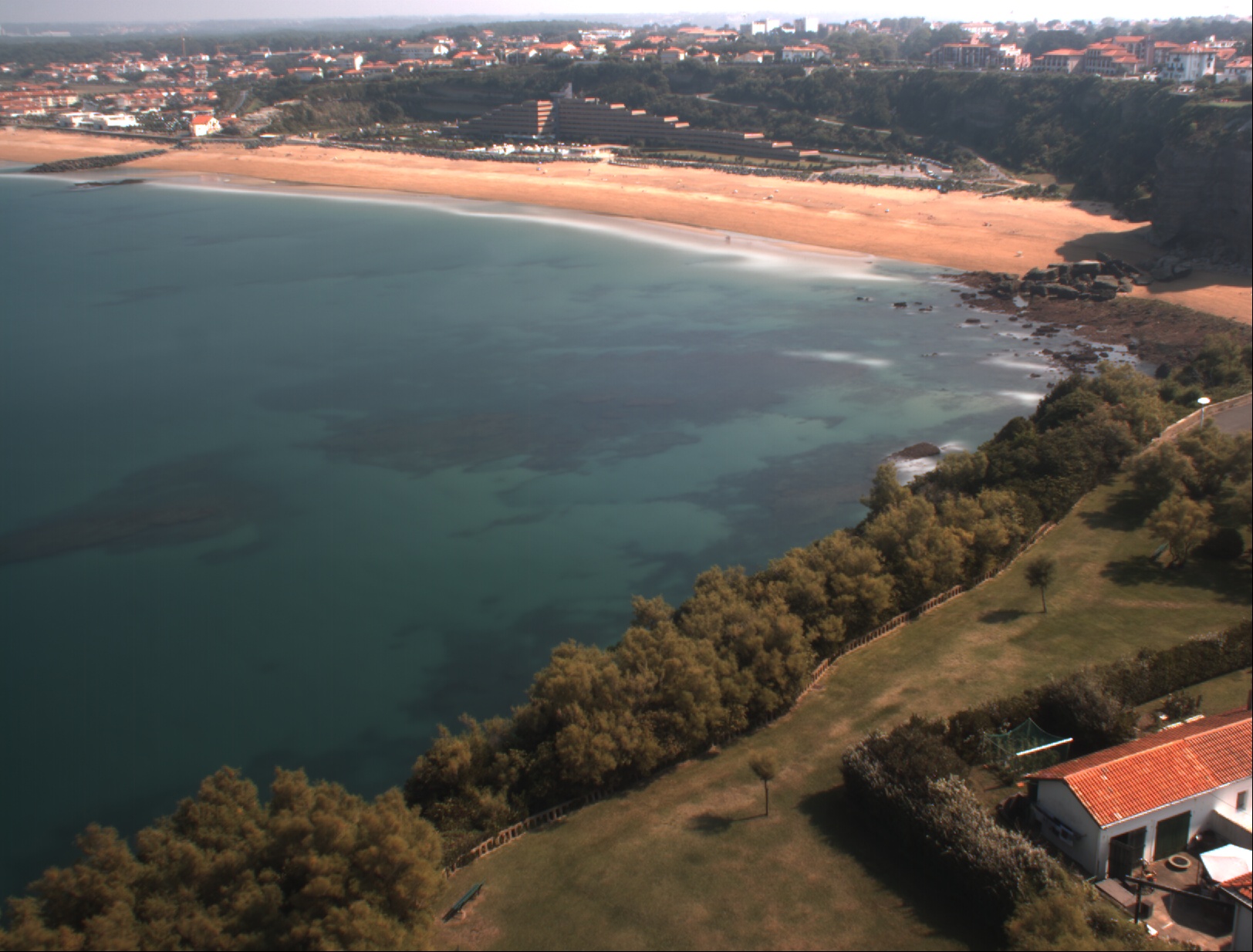
La topographie de la plage sableuse du VVF située au sud du Cap Saint Martin sur la commune d’Anglet (Nouvelle-Aquitaine) est suivie par DGPS-NRTK depuis 2013 pendant les marées basses de vives eaux en moyenne deux fois par an au début et à la fin de l’hiver. La zone couverte s’étend sur 650 m. Les données sont interpolées sur une grille régulière de résolution 2 m dans la direction longitudinale et transversale à la côte.
-

Le drone marin PAMELi est né d'un besoin d’observations répétées, géolocalisées et simultanées de différentes disciplines, et de l’archivage et l’accessibilité dans le temps de ces différentes observations. Les premières missions ont été réalisées en juin 2020.
-
Map the occurrence of ice at 1-degree resolution over different periods of the last century (1915-2014, 1965-2014, 2005-2014, 2009-2014). For each entire period (100, 50, 10, 5 years) find and map all cells of the 1 degree grid that experience ice conditions in at least 1 month.
-
Map at 1 degree resolution of 50-year linear trend in sea water temperature at 3 levels: surface, 500m, bottom.
-
Map at 1 degree resolution of 50-year linear trend in sea water temperature at 3 levels: surface, 500m, bottom.
-
Map at 1 degree resolution of 10 year linear trend in sea water temperature at 3 levels: surface, 500m , bottom
-
Map at 1 degree resolution of 10 year linear trend in sea water temperature at 3 levels: surface, 500m , bottom