 Catalogue PIGMA
Type
dataset
Type of resources
Available actions
Topics
Keywords
Contact for the resource
Provided by
Years
Formats
Representation types
Update frequencies
status
Scale
Resolution
From
1
-
10
/
8105
-
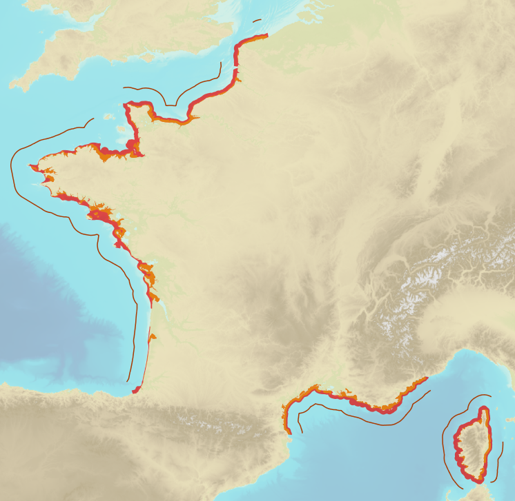
Limits defining ship classes based on their assigned operating maritime zones. These limits were produced by CEREMA in application of section II.14 of article 1 of decree no. 200945 amended on 30 August 1984. Navigation categories are defined in article 223.2 of the rules appended to the order of 23 November 1987 on shipping safety.
-
-
-
Colloque organise par le Conseil scientifique et culturel du PNR des Landes de Gascogne
-
-
-

Il s'agit du diagnostic du SCOT et de l’état initial de l'environnement validé en 2014.
-
-

-
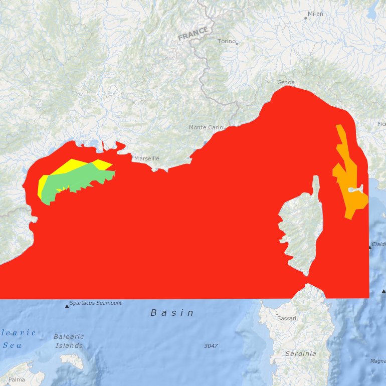
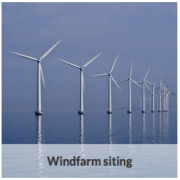
Suitability index of a wind farm in the NWMed concerning the environmental resources, the natural barriers, human activities, MPA and fisheries.